This laboratory contains equipment such as:
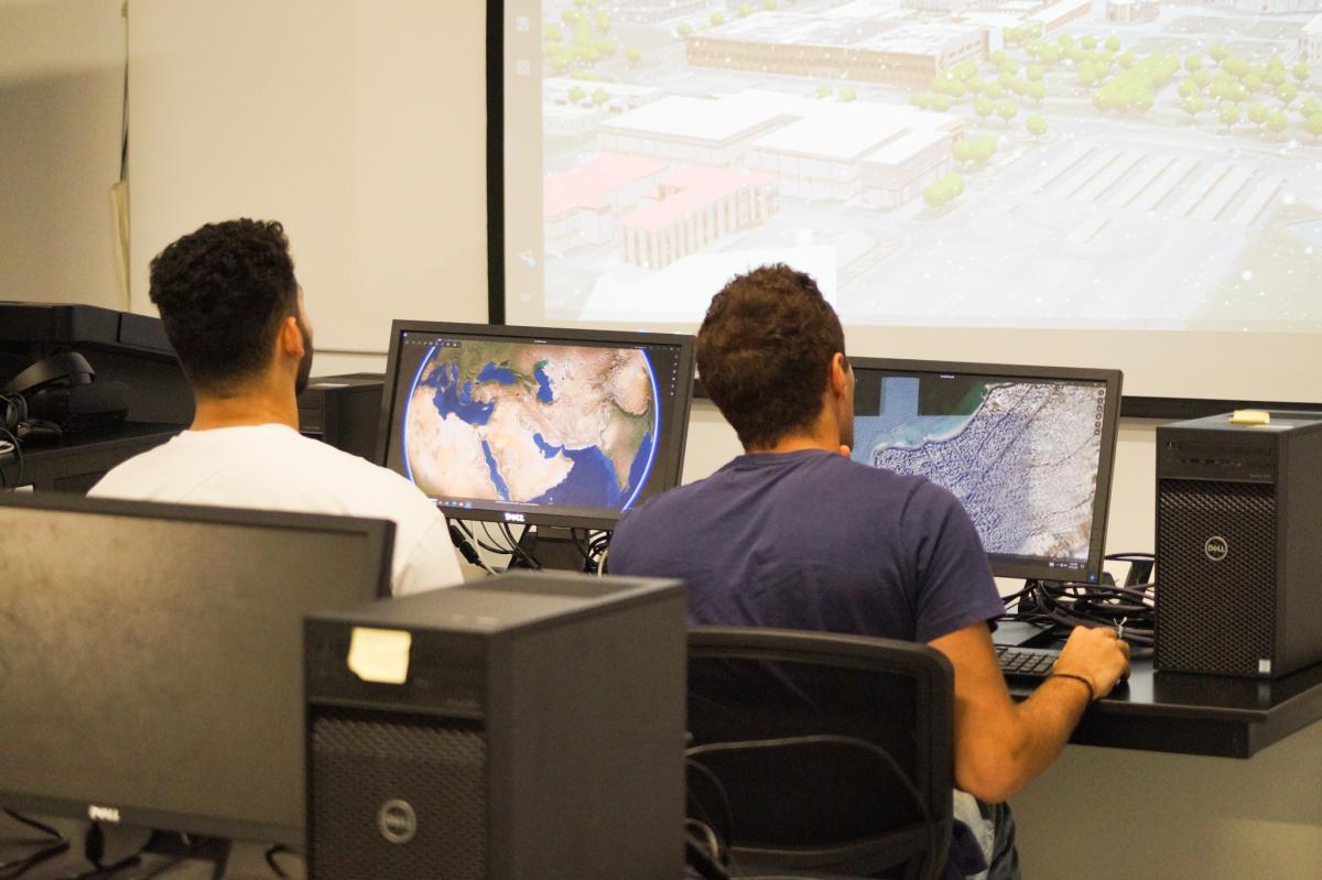
GIS and Remote Sensing software demonstrations

Drone flying for orthophoto photography
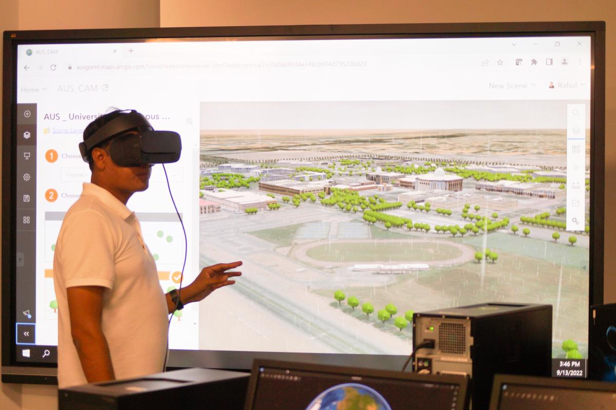
This laboratory contains equipment such as:

By continuing, you will be taken to a website not affiliated with American University of Sharjah. Links to external sites are provided only for users' convenience and imply no endorsement of the site and/or its content. Note that the privacy policy and security settings of the linked site may differ from those of the AUS website.